
AirMapping Cloud
3D survey viewer
Open your point clouds instantly and work on them as if you were in the field.
- Streamed 3D point clouds with millions of points
- Distances, areas, profiles and volume calculations
- Downloads ready for your CAD or GIS
Aerial surveying · Manacor, Mallorca
We measure with drones, LiDAR and photogrammetry. You receive what you need to design, build or control.
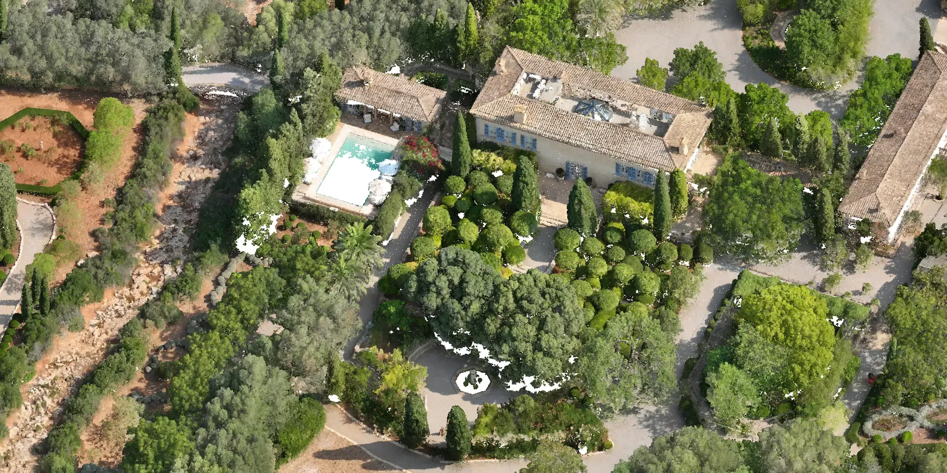
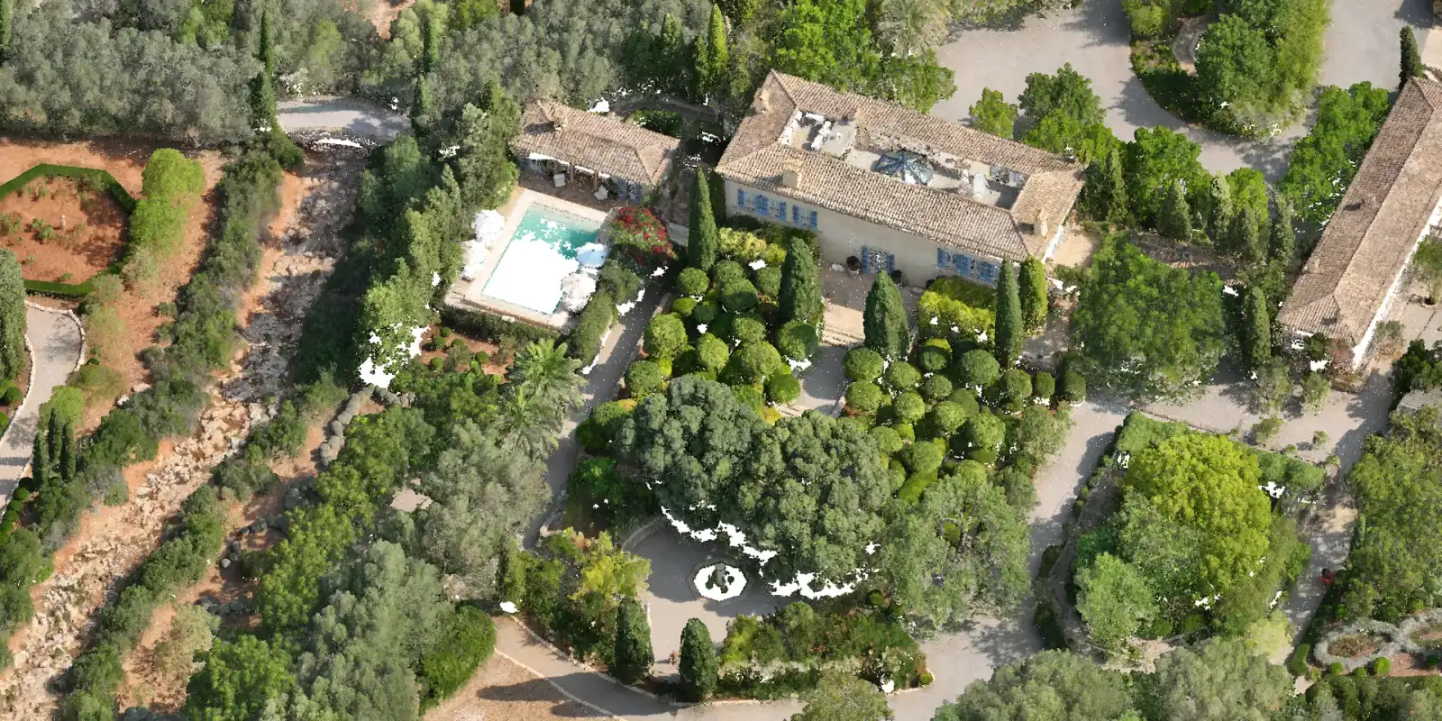
Orthomosaic of an estate View service →
3-step guide
Step 1 of 3
We recommend
The message is pre-written with your answers. You only need to add the location.
Services
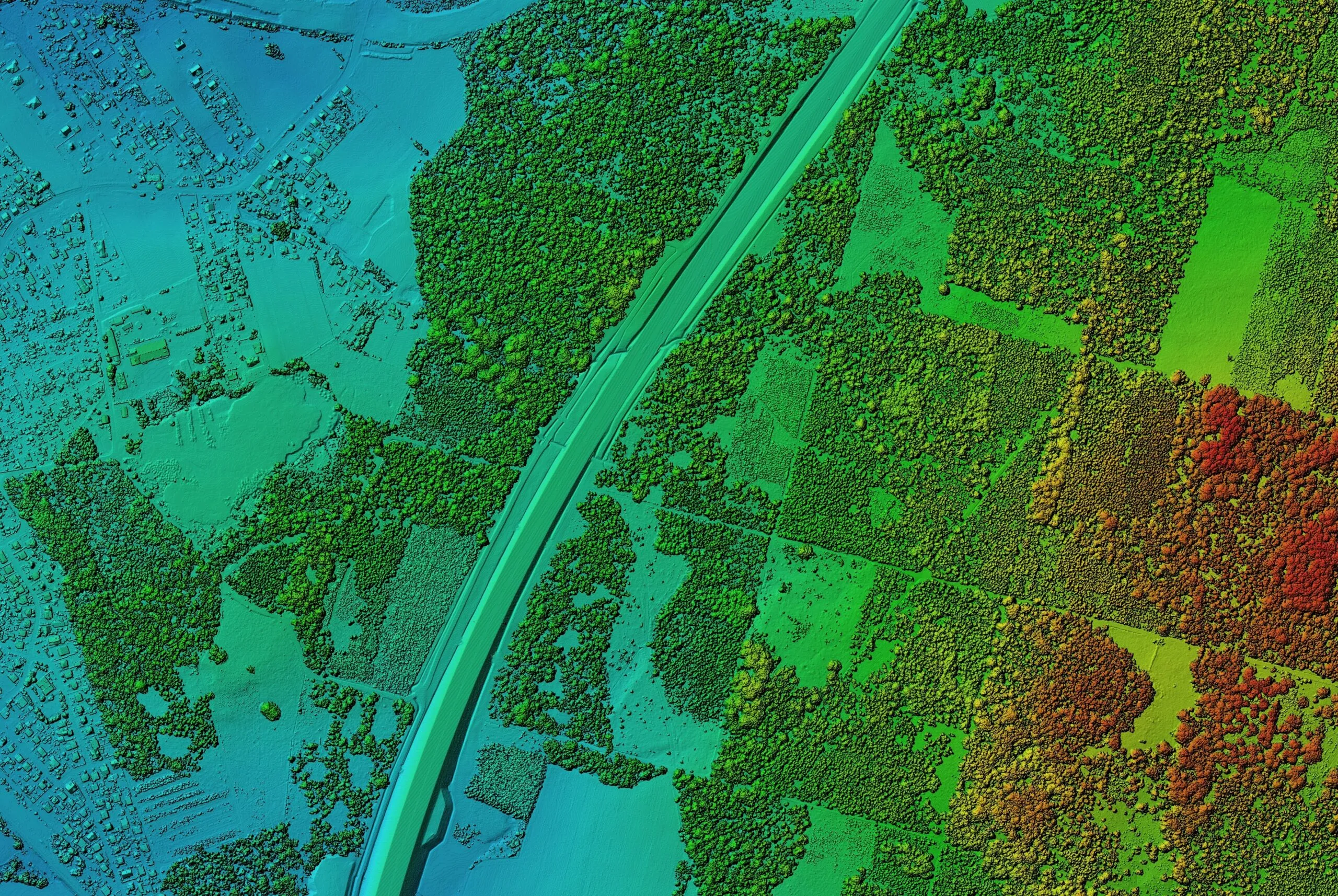
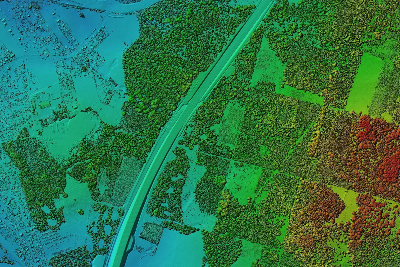
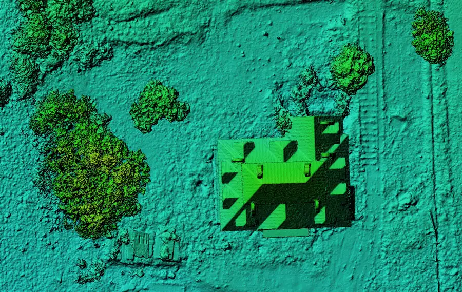 01Point clouds and digital modelsDesign, terrain analysis, calculation basePoint cloudDTMDSMcontoursView service →
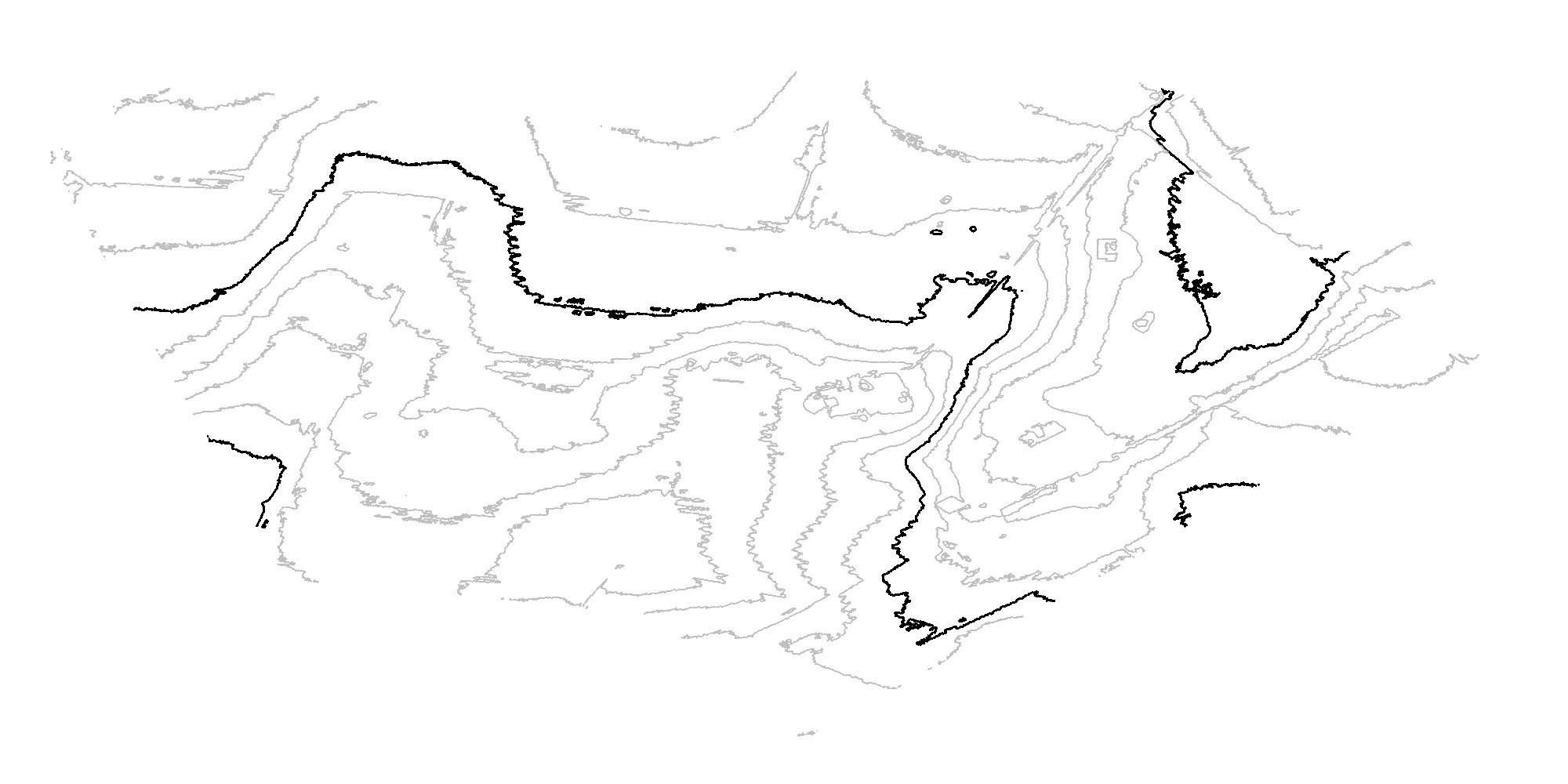
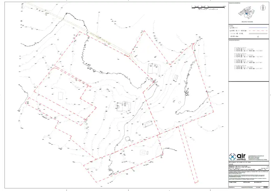 02Topographic plans and reportsDesign, permits, monitoringPlancontour linesreportView service →
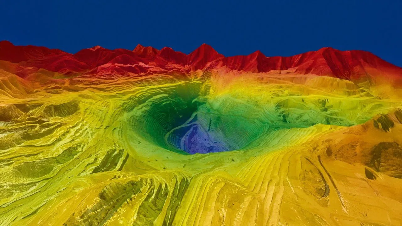
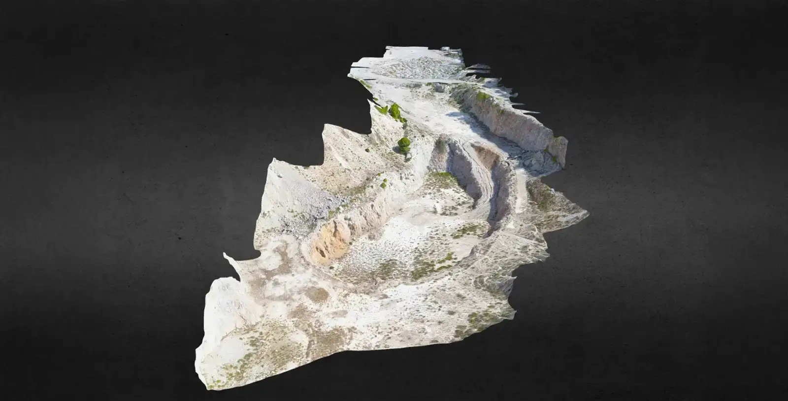
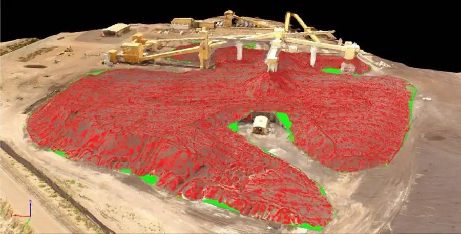 03Quarry and stockpile volume calculationExtraction and stockpile controlVolume report and digital modelView service →
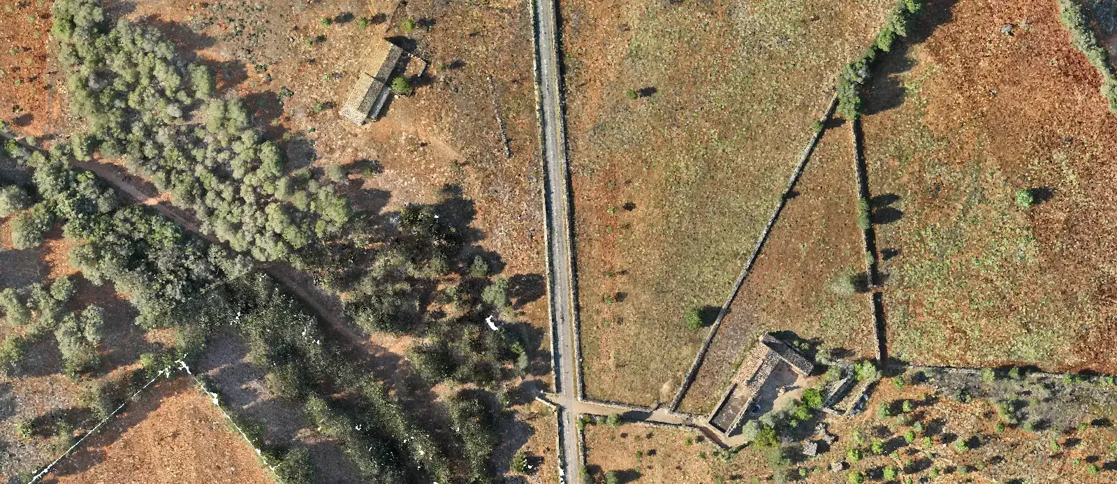
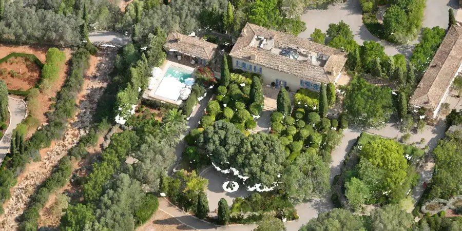 04Photogrammetry, orthomosaics and 3D modelsMapping and monitoring of terrainOrthomosaicDEM3D modelView service →
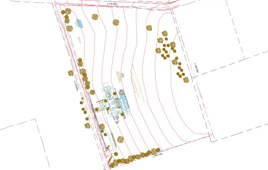 05Construction stakeoutStart and control of worksMarked points and reportView service →
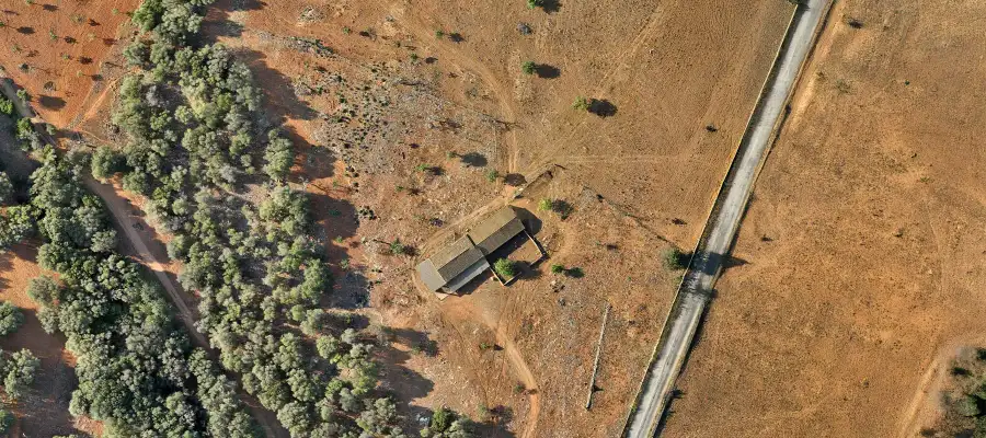 06Aerial photo and videoReal estate promotion and site monitoringAerial photo and videoView service →
Our process
Four steps, from the first conversation to the files on your computer.
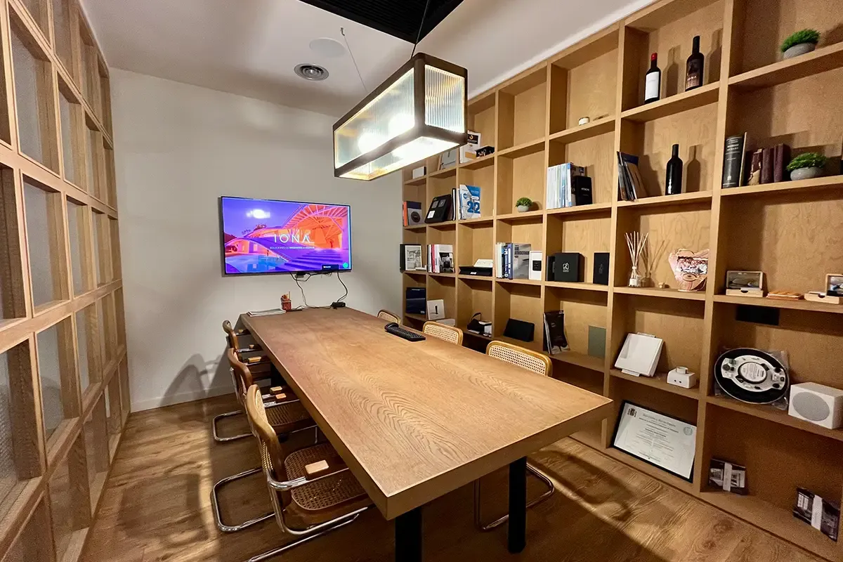
Location, what the data will be used for and the software you work with.
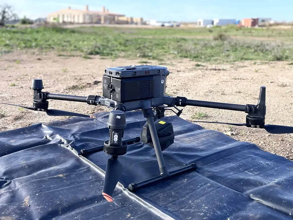
We choose the method, flight height and ground control, and check the airspace.
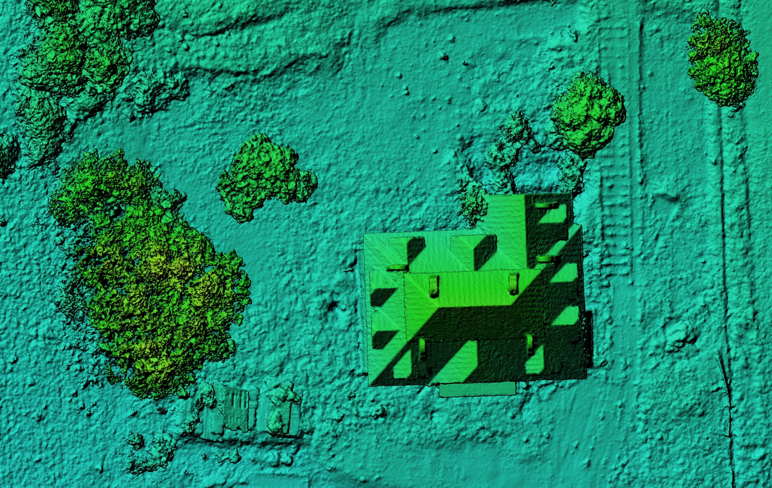
We georeference, classify and generate the agreed products.
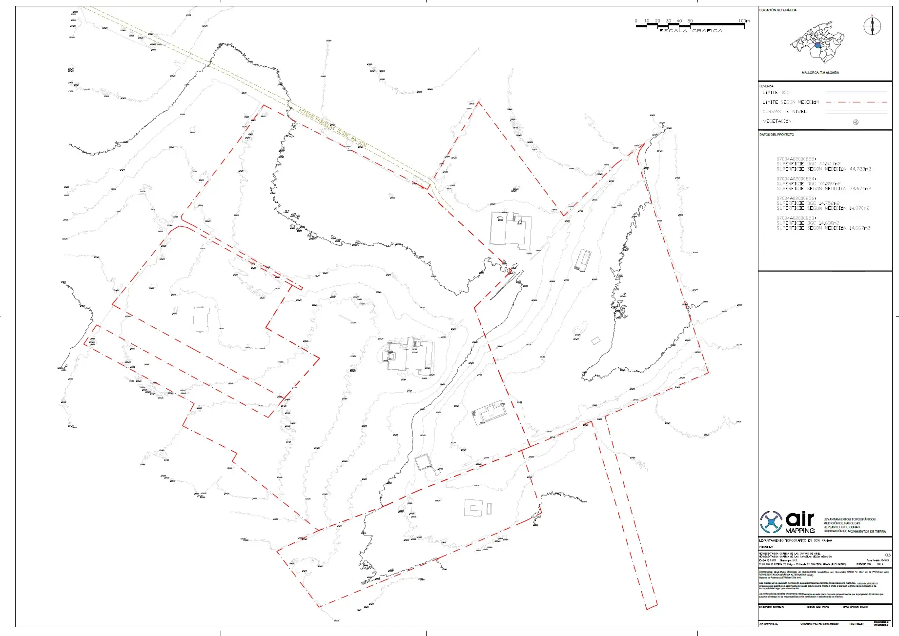
Quality control and delivery of the files with a report on how they were obtained.
Method
No method is best in every case. We choose according to vegetation, surface and deliverable.
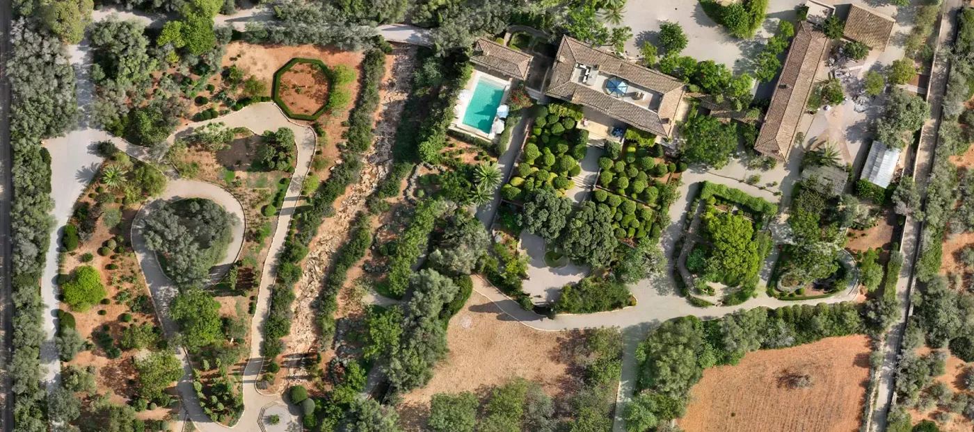
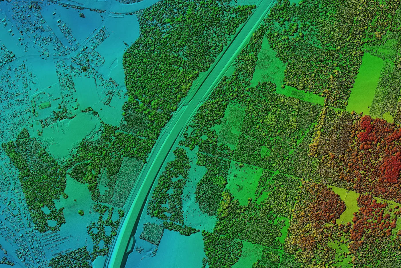
Sees what is on top: canopies and roofs.
Some pulses reach the ground between the leaves.
Real imagery and orthomosaic as standard.
Provides geometry; colour needs a separate camera.
Open ground, mapping, 3D models.
Ground under trees, slopes and complex relief.
Examples of each method. On mixed terrain they are sometimes combined. See the full comparison
Work
A single flight produces several layers. Each answers a different question, and all of them can be opened in your software.
Online platform
View, measure and download your LiDAR data from any device, with nothing to install. Every client signs in with their own account.
3D survey viewer
Open your point clouds instantly and work on them as if you were in the field.
Archaeology with LiDAR and AI
Discover what vegetation hides: the true ground relief, analysed for heritage.
Tell us where it is and what you need to obtain. We are in Manacor.