
Service
Aerial photo and video for real estate and construction monitoring
Aerial images to present a property and periodic records to document how a project progresses.
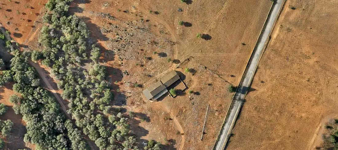
What it involves
What it is and when it makes sense
There are two different uses. In real estate promotion, the aerial image shows the surroundings, access and location of a property. On site, a sequence of flights from the same positions documents progress, useful for clients, developers and investors who cannot visit often.
Each flight is assessed according to its location and airspace regulations. It is not possible to fly anywhere, and we check this before quoting.
It is used for
- Listings and presentation of properties and developments
- Visual documentation of construction progress
- Monitoring reports for clients and investors
- Timelapse of a project’s evolution
What you receive
Deliverables
- 01 Aerial photographs
- Edited selection in high resolution.
- 02 Edited video
- Length and format agreed in the briefing.
- 03 Periodic site record
- Repeated shots from the same positions.
Examples
What the result looks like
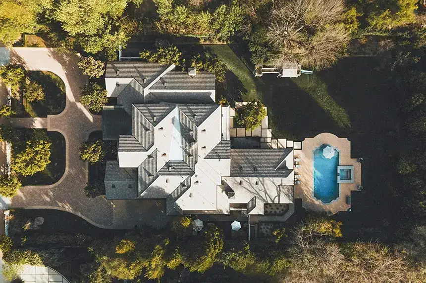
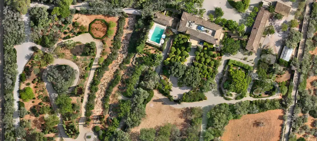
Examples of Air Mapping work. Locations and clients are not published.
Process
How we work
- Paso 1
Briefing
What you want to show and when.
- Paso 2
Feasibility check
Airspace and conditions at the site.
- Paso 3
Flight
Capture with suitable light and weather.
- Paso 4
Editing and delivery
Selection, colour adjustment and delivery.
To quote
What we need from you
- Address or location of the property or site
- How the images will be used (listing, report, website)
- Dates and frequency if it is monitoring
Honestly
What affects the result
- Airspace regulations and authorisations may limit flying in certain areas.
- Wind and rain may require rescheduling.
Questions
Frequently asked questions
Why use drones in real estate?
Because they show the surroundings, access and location of a property from a perspective that cannot be achieved from the ground.
What is a timelapse and how does a drone make one?
A technique that captures photos at regular intervals to show change in fast motion. On site, the flight is repeated from the same positions to compose the sequence.
Can you fly anywhere?
No. We check airspace and restrictions at each location before confirming the flight.
Keep exploring
Related services
Tell us about your project
Tell us the location, the approximate area and what you need to obtain.