Projects

What the deliverables look like

A selection of results from Air Mapping work. We show method and deliverable; we do not publish exact locations or clients.
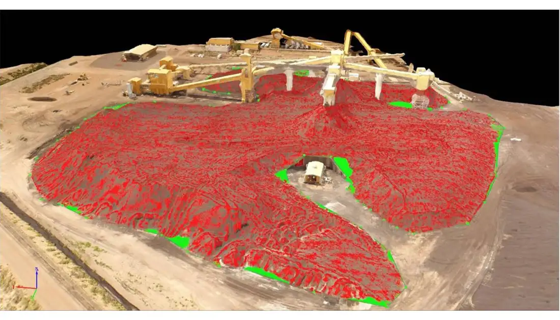
Point cloud of a stockpile with fill zones in red and excavation in green

Stockpile volume measurement

Method
Photogrammetry and surface comparison
Deliverable
Fill and cut map, volume
View service
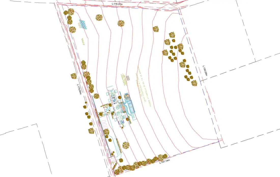
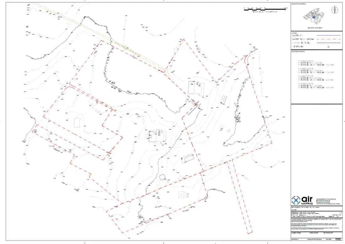
Topographic plan with contour lines and data block

Topographic plan of an estate

Method
Aerial survey and drafting
Deliverable
Plan with contour lines and data block
View service
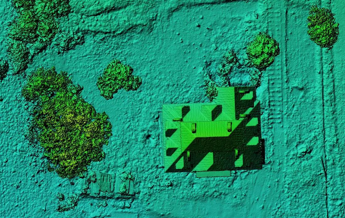
Point cloud of a house and its surroundings coloured by height

Point cloud of a house and its surroundings

Method
LiDAR
Deliverable
Classified point cloud
View service
Stakeout plan over the contour lines of an estate

Stakeout from a project plan

Method
Project data and field measurement
Deliverable
Stakeout points and plan
View service
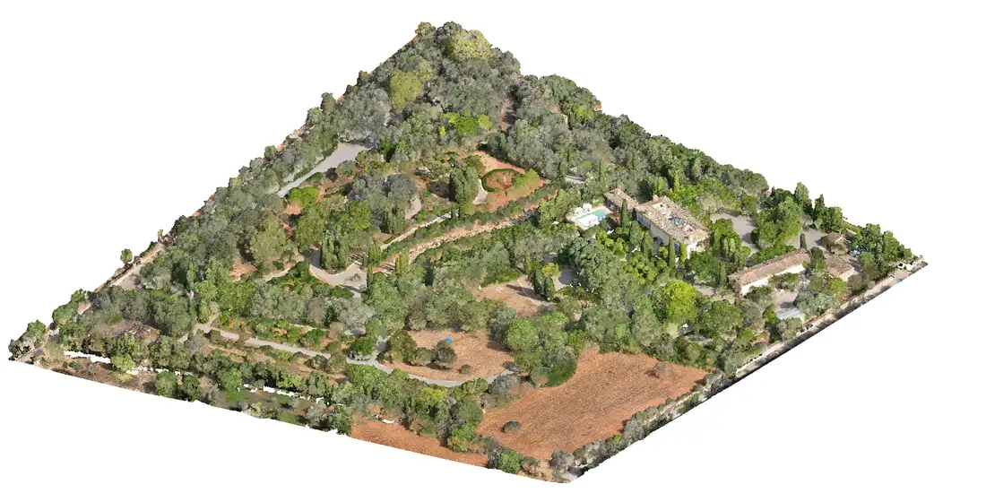
Textured 3D model of an estate in isometric view

3D model of an estate

Method
Photogrammetry
Deliverable
3D model and orthomosaic
View service
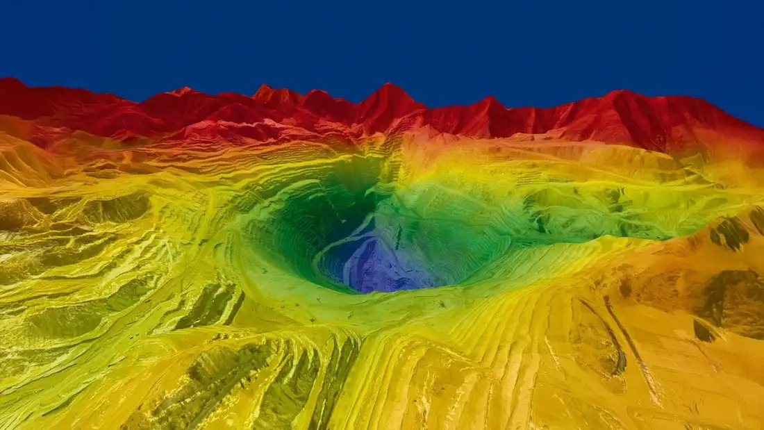
Digital elevation model in perspective

Digital elevation model

Method
LiDAR
Deliverable
DEM in perspective and contours
View service

Tell us about your project

Tell us where the site is and what you need to obtain. We will reply with a concrete proposal.

Tell us about your project