
Service
Contour lines and spot heights
The shape of the terrain on a plan: lines joining points of equal height and spot heights giving the numerical value of each relevant point.
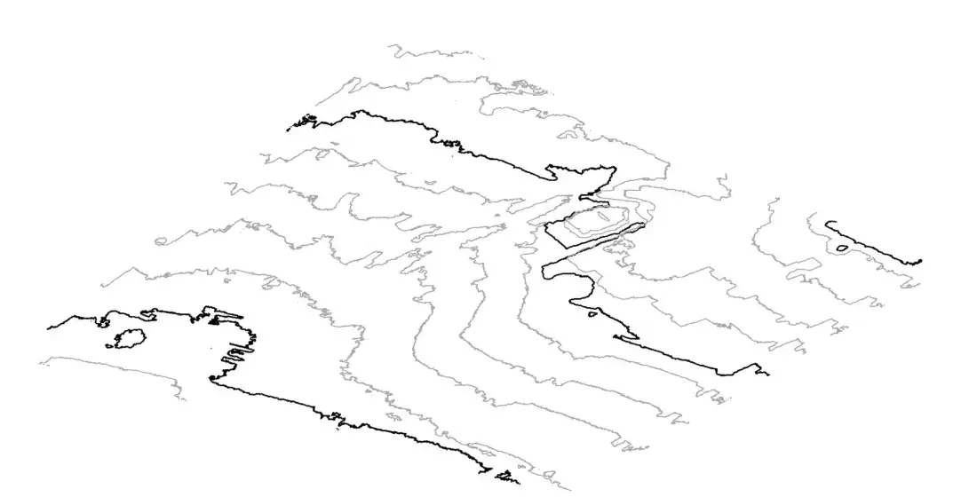
What it involves
What it is and when it makes sense
Contour lines join points of the same height. Spot heights are the numerical values of those heights at specific points. Together they let you read slopes, gullies, embankments and flat areas.
We calculate them from the digital terrain model obtained in the drone survey. The contour interval (how many metres between lines) is chosen according to the use of the plan.
It is used for
- Design of roads, drainage and earthworks
- Site layout studies
- Urban planning
- Slope analysis on estates
What you receive
Deliverables
- 01 Contour lines
- At the agreed interval, in the format you use.
- 02 Spot heights at points of interest
- Corners, vertices, roads and relevant features.
- 03 3D visualisation
- To help interpret the relief.
Examples
What the result looks like
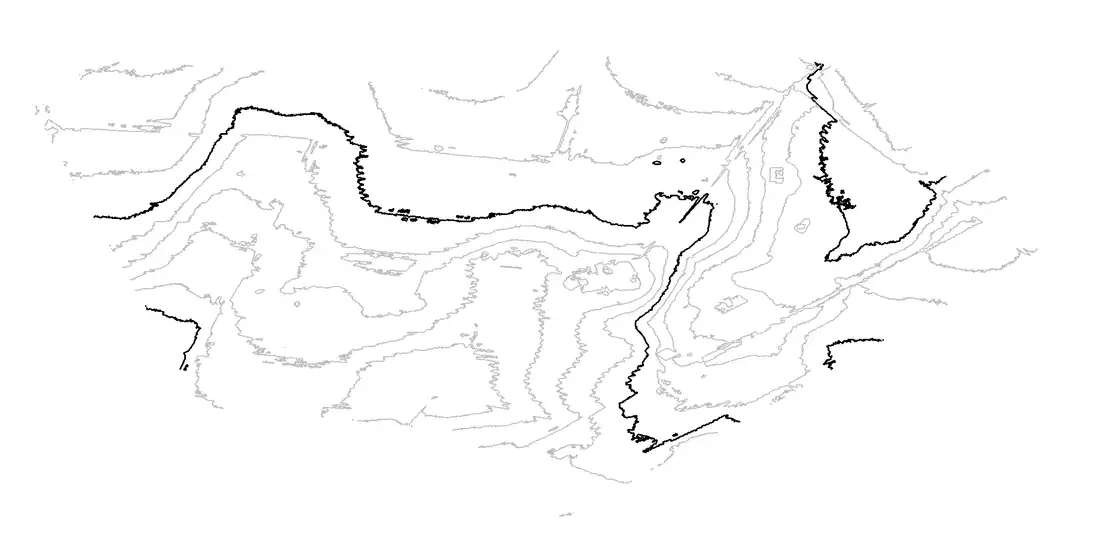
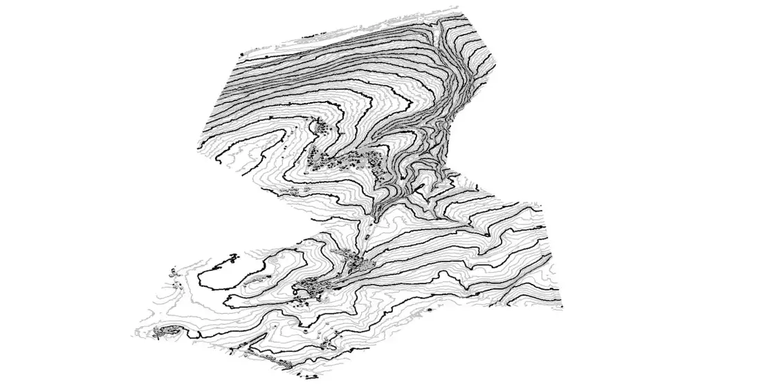
Examples of Air Mapping work. Locations and clients are not published.
Process
How we work
- Paso 1
Define use and interval
What needs to be read on the plan.
- Paso 2
Capture
Aerial survey of the area.
- Paso 3
Model and contours
Generation of the DTM and extraction of contours.
- Paso 4
Review and delivery
Plan and files as agreed.
To quote
What we need from you
- Location and boundaries
- Desired contour interval
- Delivery format
Honestly
What affects the result
- Vegetation density conditions the ground model from which contours are derived.
- A very fine interval requires a higher-quality model and may increase the cost.
Questions
Frequently asked questions
What are contour lines and spot heights, and how are they calculated?
Contour lines represent changes in terrain height and spot heights give specific elevations. They are calculated from topographic surveys and are used in planning, road works and urban planning.
Keep exploring
Related services
Tell us about your project
Tell us the location, the approximate area and what you need to obtain.