
Service
Drone photogrammetry: orthomosaics and 3D models
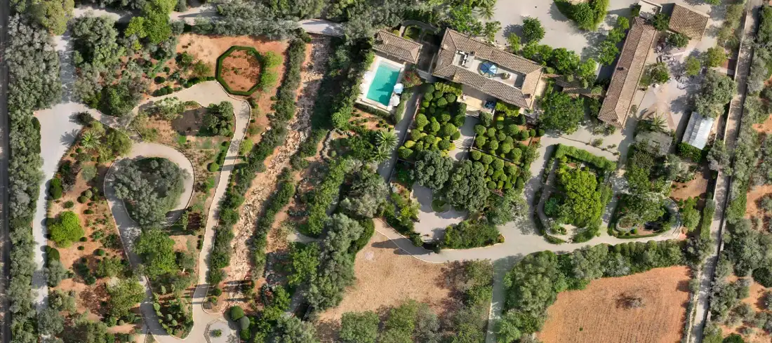
From hundreds of georeferenced aerial photographs we generate a scaled photographic map (orthomosaic) and 3D models of the terrain.
What it involves
What it is and when it makes sense
Photogrammetry reconstructs the geometry of a terrain from overlapping photographs. The result is an orthomosaic, an image free of perspective distortion in which you can measure, plus digital models and point clouds.
It works especially well on textured surfaces without dense vegetation. When the ground is covered by trees or scrub, LiDAR may be the better option; we assess this with you in the briefing.
It is used for
- Up-to-date mapping of an estate or site
- Monitoring of terrain evolution
- Visual support for projects
- Base for plans and volume calculations
What you receive
Deliverables
- 01 Orthomosaic
- Georeferenced image of the whole area, at the agreed resolution (GSD).
- 02 Digital elevation model
- DEM derived from the photographs.
- 03 Point cloud and 3D model
- To visualise, measure or integrate into other software.
Examples
What the result looks like
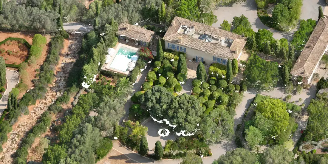
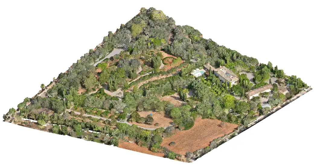
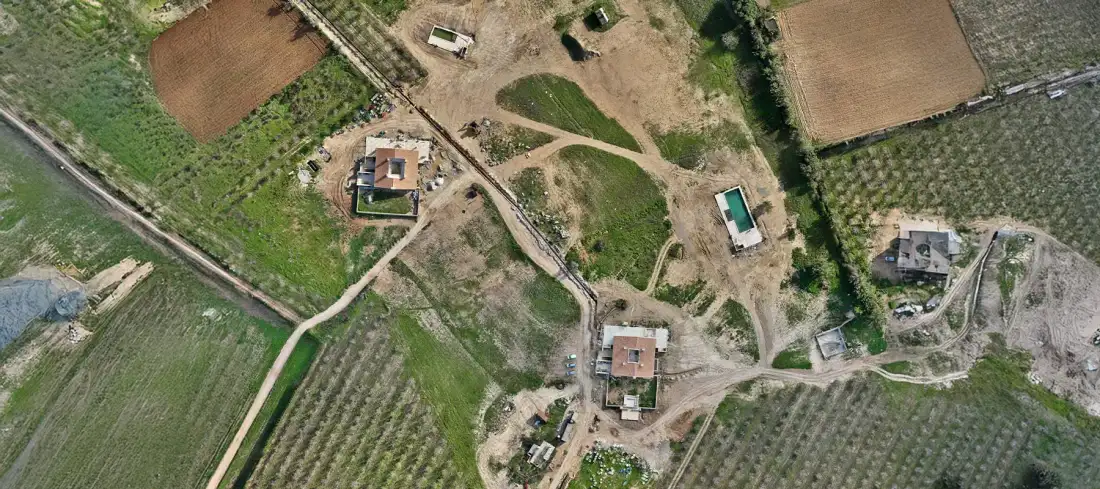
Examples of Air Mapping work. Locations and clients are not published.
Process
How we work
- Paso 1
Flight planning
Height, overlap and resolution according to the final use.
- Paso 2
Capture
Flight and, when the project requires them, control points.
- Paso 3
Processing
Generation of the orthomosaic, DEM and 3D model.
- Paso 4
Delivery
Files and viewer or report, as agreed.
To quote
What we need from you
- Location and approximate area
- Resolution or level of detail you need
- Whether it must be georeferenced to a specific system
- Intended use of the result
Honestly
What affects the result
- Uniform surfaces (water, snow) and deep shadows make reconstruction difficult.
- Dense vegetation prevents seeing the ground in photogrammetry.
- Using RTK can reduce the number of control points required, but does not always eliminate them.
Questions
Frequently asked questions
What is the difference between photogrammetry and LiDAR?
Photogrammetry starts from photographs and provides texture and colour; LiDAR starts from laser pulses and is more effective for obtaining the ground under vegetation. It is explained in more detail on the technology page.
Keep exploring
Related services
Tell us about your project
Tell us the location, the approximate area and what you need to obtain.