
Service
Construction stakeout
We take your project coordinates to the ground, so foundations, roads and plots end up where the plans say.
What it involves
What it is and when it makes sense
Stakeout transfers the points defined in a plan or digital model to the real terrain. It is used before starting a project and during it, to verify positions and levels.
Before going on site we review the plans and coordinates and check which part of the work needs ground measurement and which relies on aerial data.
It is used for
- Start of works and marking of axes
- Verification of positions and levels
- Subdivisions and roads
- Support for site management
What you receive
Deliverables
- 01 Points set out on the ground
- According to the commission.
- 02 Stakeout report
- Coordinates, deviations and required adjustments.
Examples
What the result looks like
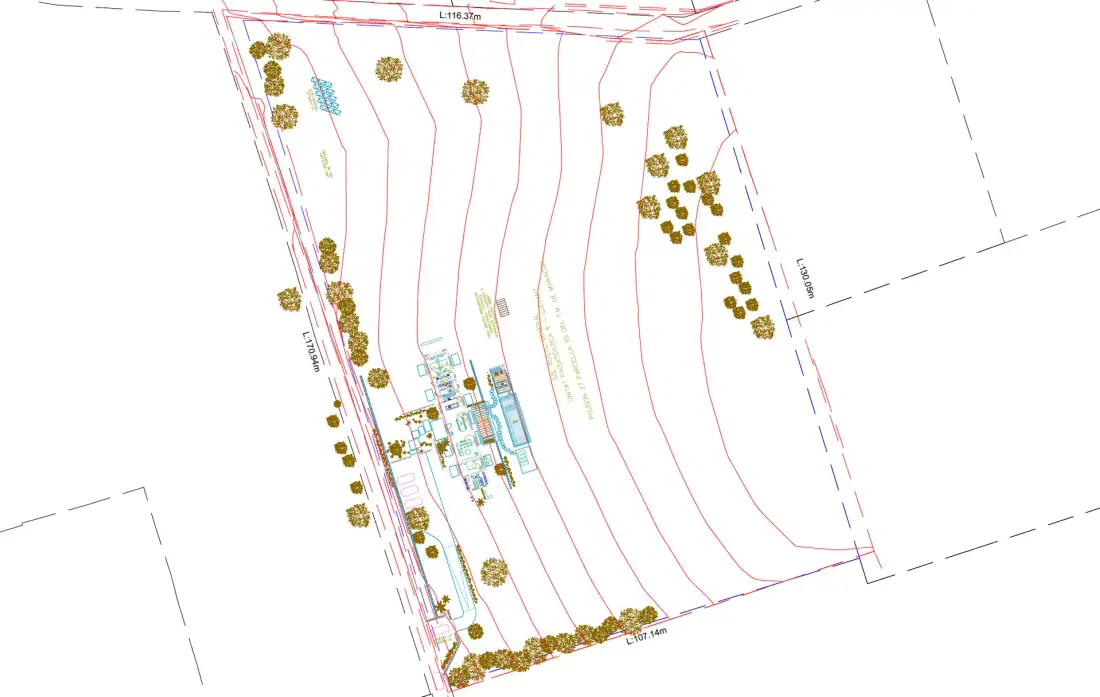
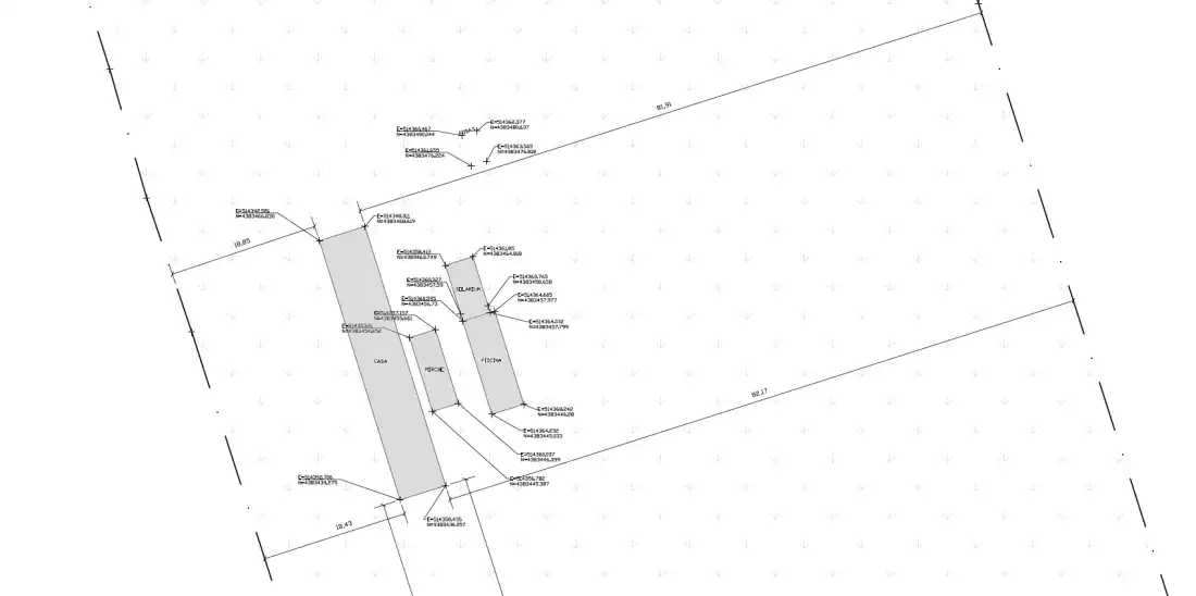
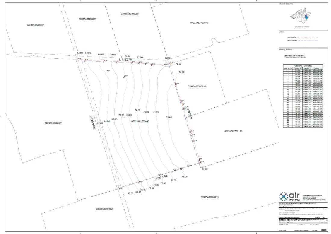
Examples of Air Mapping work. Locations and clients are not published.
Process
How we work
- Paso 1
Preliminary analysis
We review plans and coordinates and define what is set out.
- Paso 2
Preparation
We fix the reference system and the starting points.
- Paso 3
Stakeout in the field
Measurement and marking of the points on the ground.
- Paso 4
Delivery
Report with the data and any adjustments required.
To quote
What we need from you
- Project plans or files (DWG, DXF, PDF)
- List of elements to set out
- Project coordinate system
- Start date of the works
Honestly
What affects the result
- Stakeout depends on the quality of the reference project.
- Some elements require direct measurement on the ground.
Questions
Frequently asked questions
What is point stakeout and when is it needed?
It consists of transferring the coordinates of a project from a plan or digital model to the real terrain. It is needed when building houses, roads or other infrastructure so they are built where the project says.
What data do I need to provide?
The project plans in digital format and the coordinate system used.
Keep exploring
Related services
Tell us about your project
Tell us the location, the approximate area and what you need to obtain.