
Service
Topographic plans and reports
Plans with contour lines, spot heights and site features, plus a report explaining how it was measured. So you can design, apply for permits or build from a clear starting point.
What it involves
What it is and when it makes sense
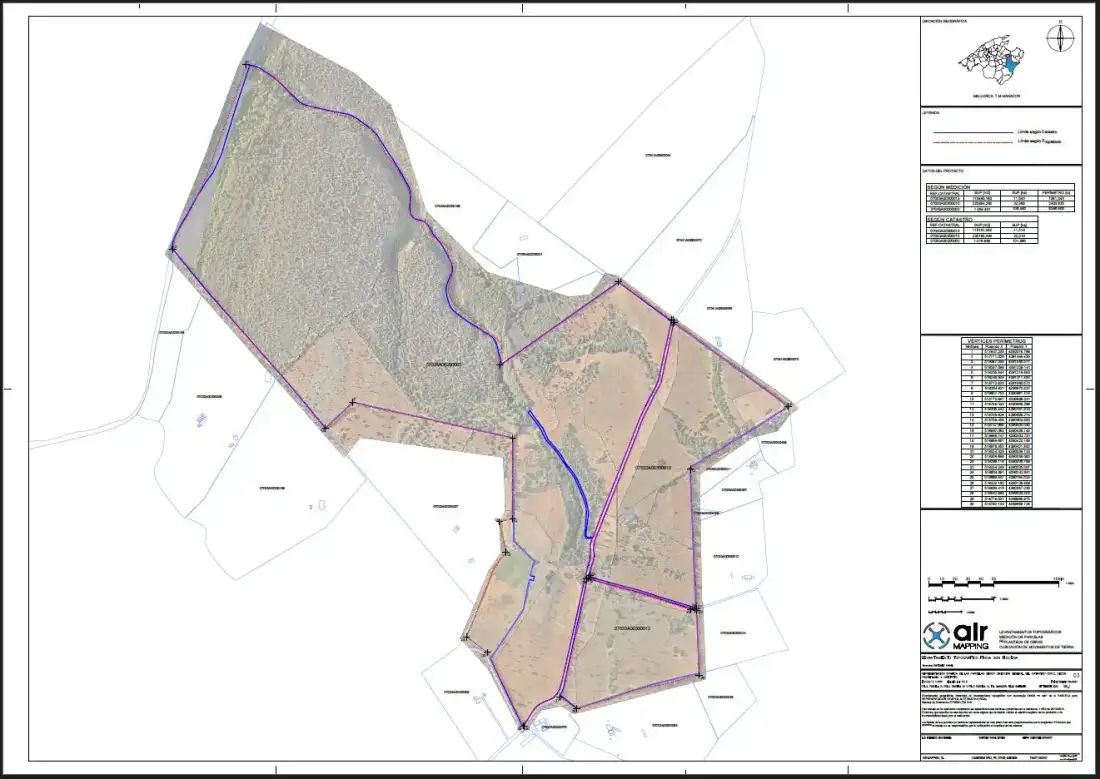
A topographic plan records the shape of the terrain: slopes, spot heights, boundaries and existing features. The report accompanies the plan with the capture method, the reference system and the checks carried out.
We start from a drone survey and, when the project requires it, complete it with ground control.
It is used for
- Building or development projects
- Site layout studies
- Documentation for permits or construction monitoring
- Current state of estates and plots
What you receive
Deliverables
- 01 Topographic plan
- Contour lines, spot heights and relevant features, at the agreed scale.
- 02 Technical report
- Methodology, coordinate system and results.
- 03 Working files
- In the format agreed in the briefing.
Examples
What the result looks like
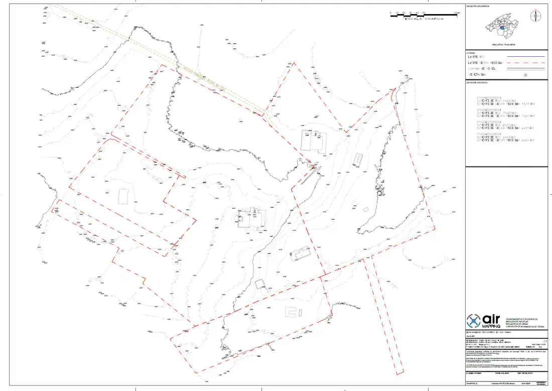
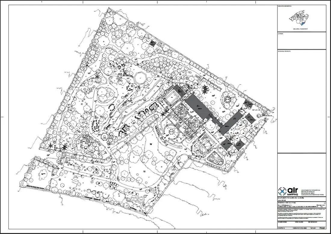
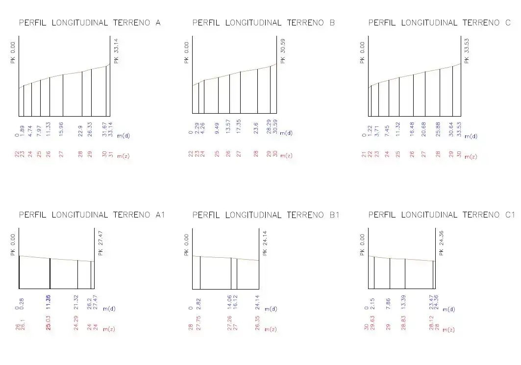
Examples of Air Mapping work. Locations and clients are not published.
Process
How we work
- Paso 1
Document review
We review the plot, the reference project and the scope.
- Paso 2
Aerial capture
Flight and, where needed, control points on the ground.
- Paso 3
Plan drafting
Processing and drawing at the requested scale.
- Paso 4
Review and delivery
Technical review and delivery of the plan and its report.
To quote
What we need from you
- Location and boundaries of the plot
- Scale and contour interval you need
- Whether the plan will be submitted to an authority
- Delivery format (DWG, PDF…)
Honestly
What affects the result
- Features under dense vegetation or roofs may require ground survey.
- If the plan is for an official procedure, we must confirm which signature or approval that procedure requires.
Questions
Frequently asked questions
What kind of plans and reports do you provide?
Topographic plans with contour lines and spot heights, and technical reports. The exact content depends on the commission and is defined in the quotation.
Is it valid for an official procedure?
It depends on what the specific procedure requires. Tell us which one in the briefing and we will check before quoting.
Keep exploring
Related services
Tell us about your project
Tell us the location, the approximate area and what you need to obtain.