
Technology
LiDAR and photogrammetry with drones
Two ways of capturing the terrain. One measures with a laser, the other reconstructs from photographs. This page helps you understand when each one suits.
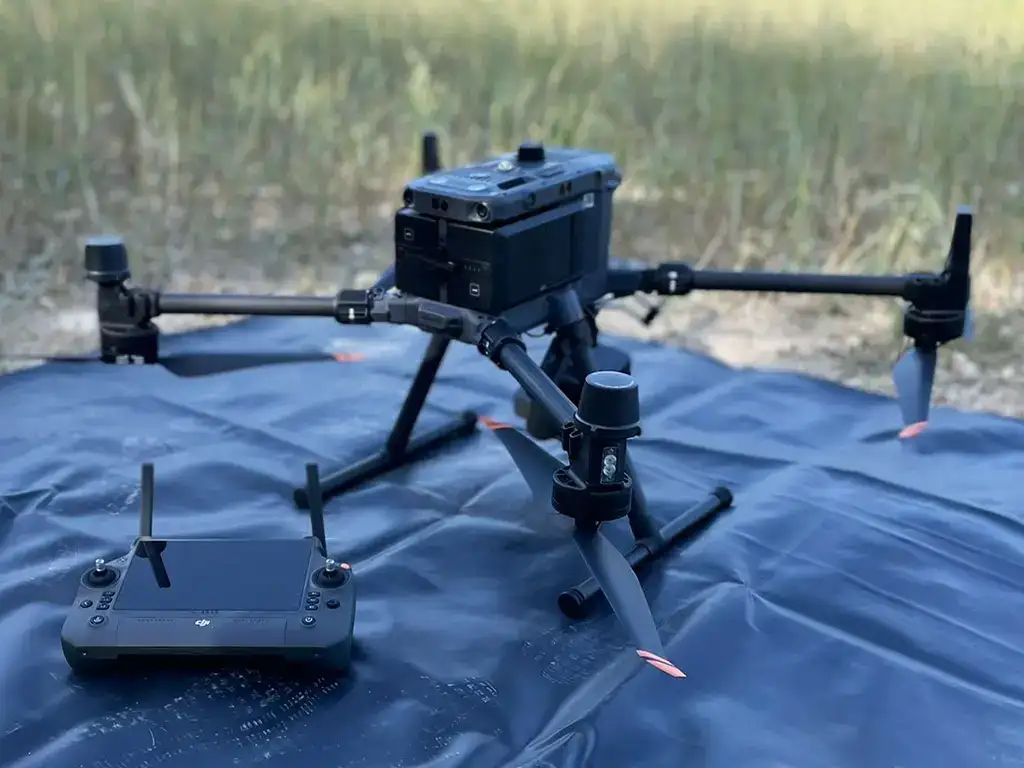
LiDAR
Measuring with laser light
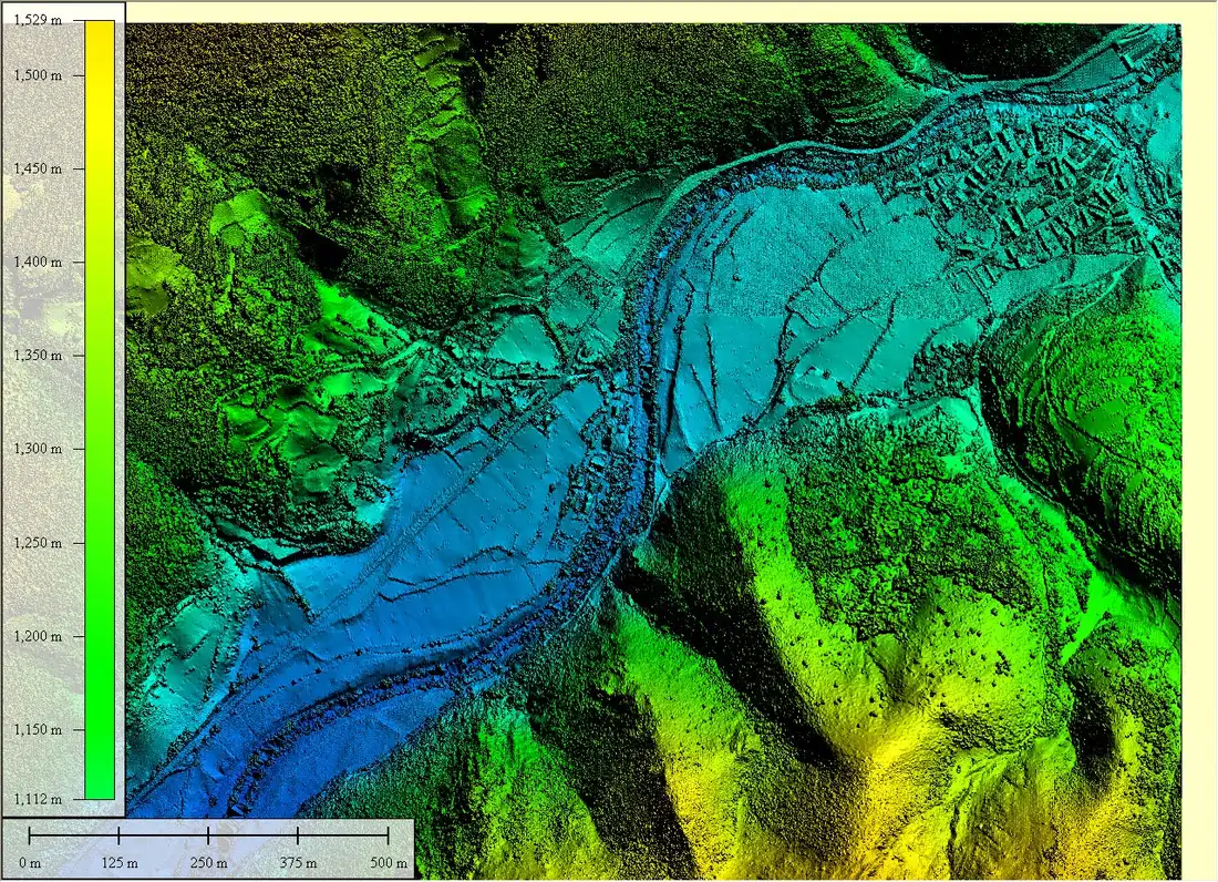
LiDAR (Light Detection and Ranging) is a remote sensing technique. The sensor emits laser pulses and measures the time they take to return, which makes it possible to calculate distances. Combined with the drone’s position, it gives a georeferenced point cloud of the terrain.
Its main advantage is that, where there are gaps in the vegetation, some pulses reach the ground. That makes it possible to model the terrain where a photograph would only see the canopy.
Photogrammetry
Reconstructing from photos
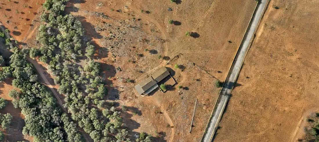
Photogrammetry uses aerial photographs with a lot of overlap. By identifying the same points in several images, the software reconstructs their position in 3D. It produces orthomosaics, 3D models and coloured point clouds.
It works very well on open, textured ground. In dense vegetation, it only reconstructs what it sees from above.
Comparison
What each method offers
Neither is better in every case. The choice depends on the terrain and the deliverable.
| LiDAR | Photogrammetry | |
|---|---|---|
| How it captures | Laser pulses that measure the distance to the ground | Overlapping photographs reconstructed in 3D |
| Vegetation | Some pulses reach the ground between the leaves; this allows the terrain under trees to be modelled | Only sees what is visible from above; the ground under canopies stays hidden |
| Colour and texture | Provides geometry; colour depends on an additional camera | Provides colour and texture natively (orthomosaic) |
| Uniform surfaces | Works well on surfaces without texture | May fail over water, snow or very smooth surfaces |
| Best for | DTM under vegetation, lines, slopes, complex terrain | Visual mapping, orthomosaics, 3D models, open ground |
| Cost and time | More demanding equipment and processing; assessed case by case | Lighter capture and processing in many cases; assessed case by case |
Glossary
Terms you will see in a report
- Point cloud
- A set of points with X, Y, Z coordinates that describes a surface.
- MDT
- Digital terrain model: the ground without vegetation or buildings.
- MDS
- Digital surface model: includes vegetation, buildings and objects.
- DEM
- Digital elevation model: general term for height models.
- Orthomosaic
- Aerial image corrected for perspective distortion, in which you can measure.
- GSD
- Ground Sample Distance: size on the ground of each image pixel.
- Contour line
- A line joining points of the same height.
Questions
Questions about the technology
What is LiDAR and how does it work?
LiDAR (Light Detection and Ranging) emits laser pulses from the drone and measures the time they take to return. With the drone’s position at each instant, the coordinates of millions of terrain points are calculated.
Does LiDAR go through vegetation?
Pulses reflect at several levels: canopy, branches and, where there are gaps, ground. In dense vegetation fewer points reach the ground, so the quality of the terrain model depends on the density and type of cover.
What accuracy is obtained?
It depends on the sensor, calibration, control points, georeferencing and terrain conditions. It is defined with the client before the flight and documented in the report.
Which is better for my project?
If there are trees or scrub and you need the ground, usually LiDAR. If you need imagery or the ground is open, photogrammetry is usually enough. Sometimes they are combined. We assess it with you.
LiDAR, photogrammetry or both?
Tell us about the site and what you will use the data for.