
Services
Aerial surveying services
Each service produces a specific deliverable. Choose what you need to obtain or tell us about the project.
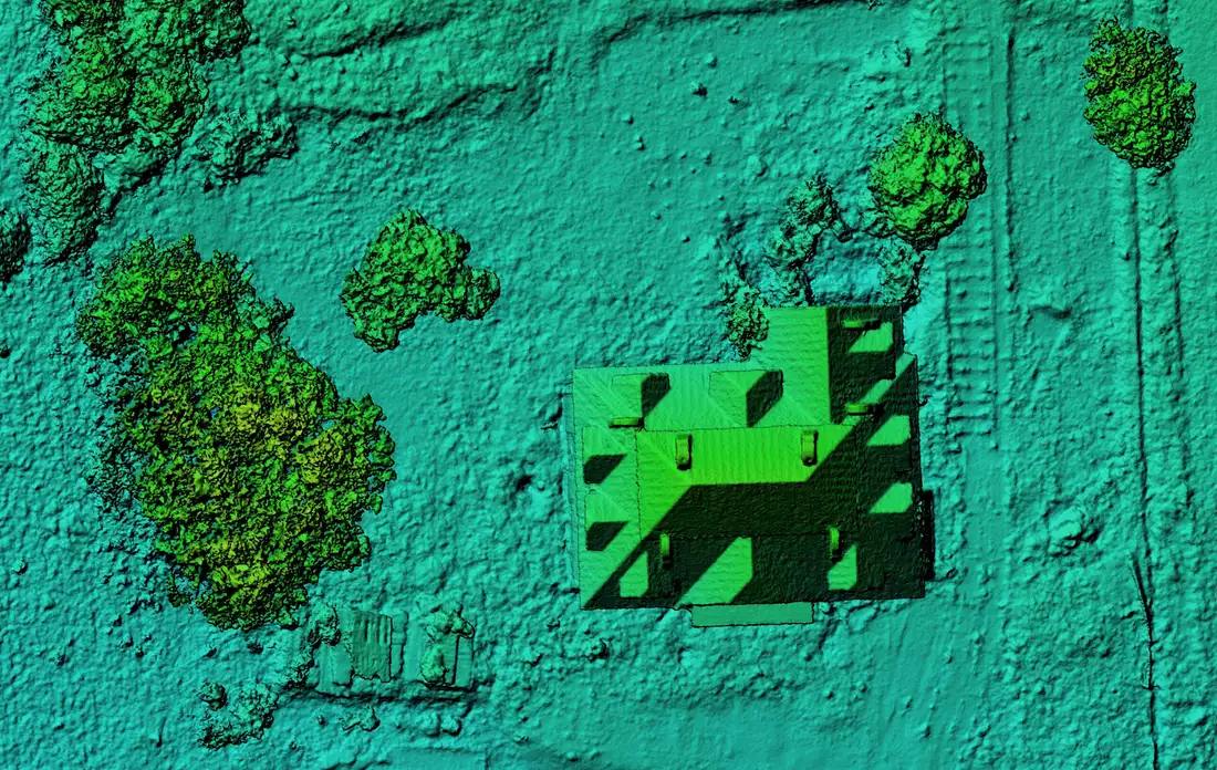 01Point clouds and digital modelsDesign, terrain analysis, calculation basePoint cloudDTMDSMcontours
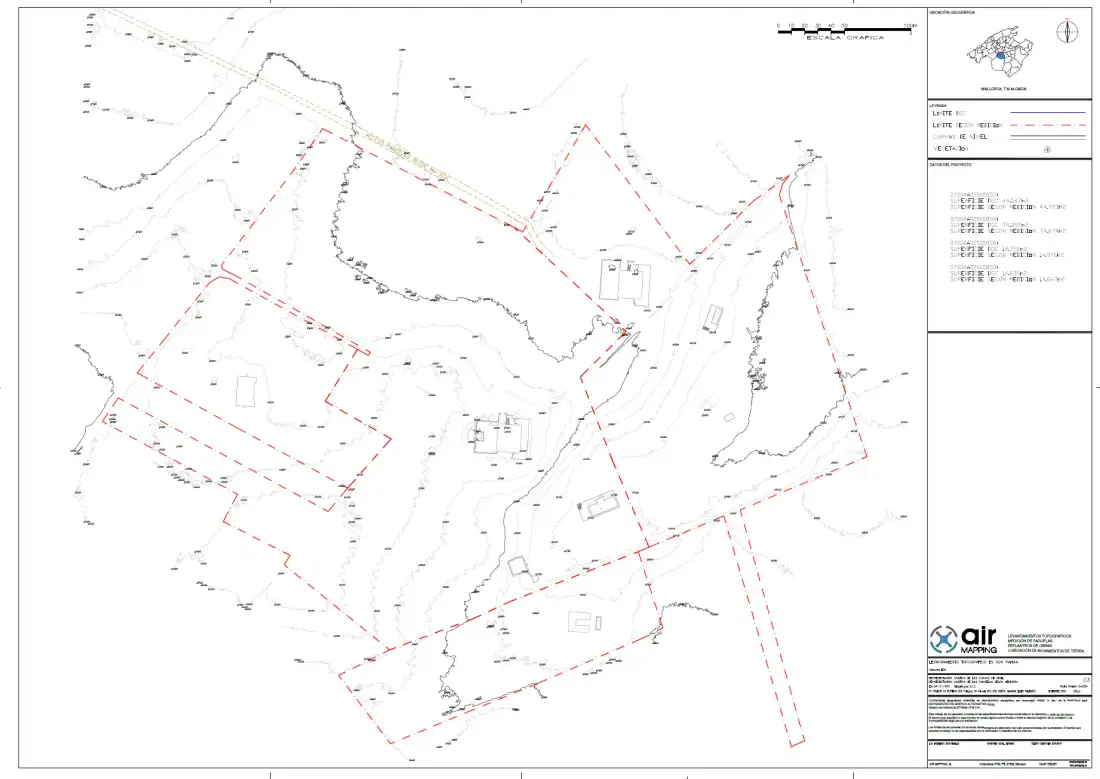 02Topographic plans and reportsDesign, permits, monitoringPlancontour linesreport
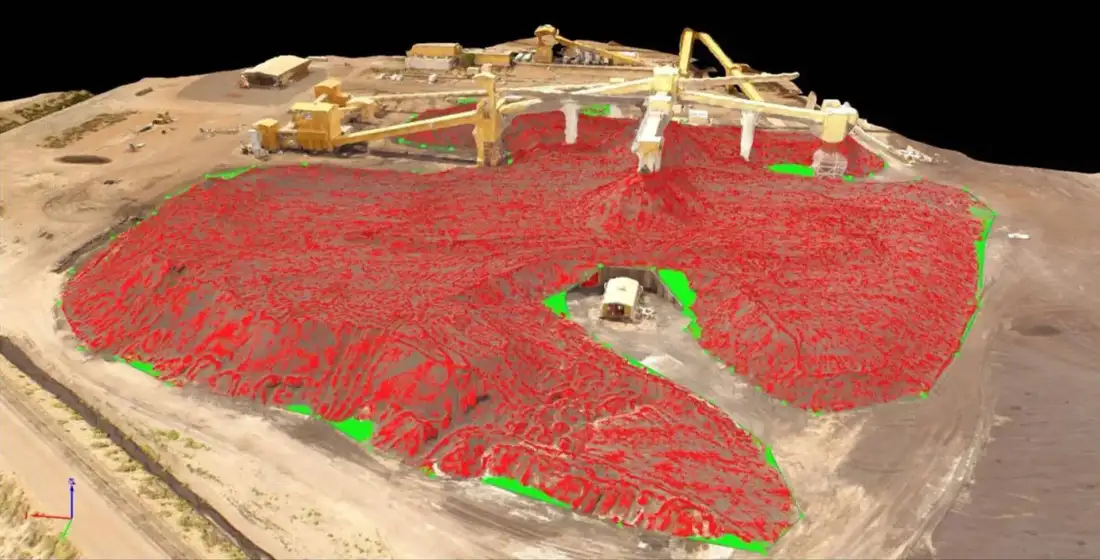 03Quarry and stockpile volume calculationExtraction and stockpile controlVolume report and digital model
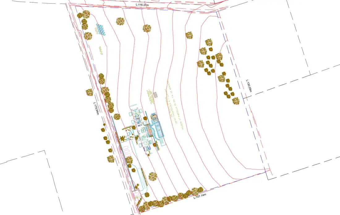 04Construction stakeoutStart and control of worksMarked points and report
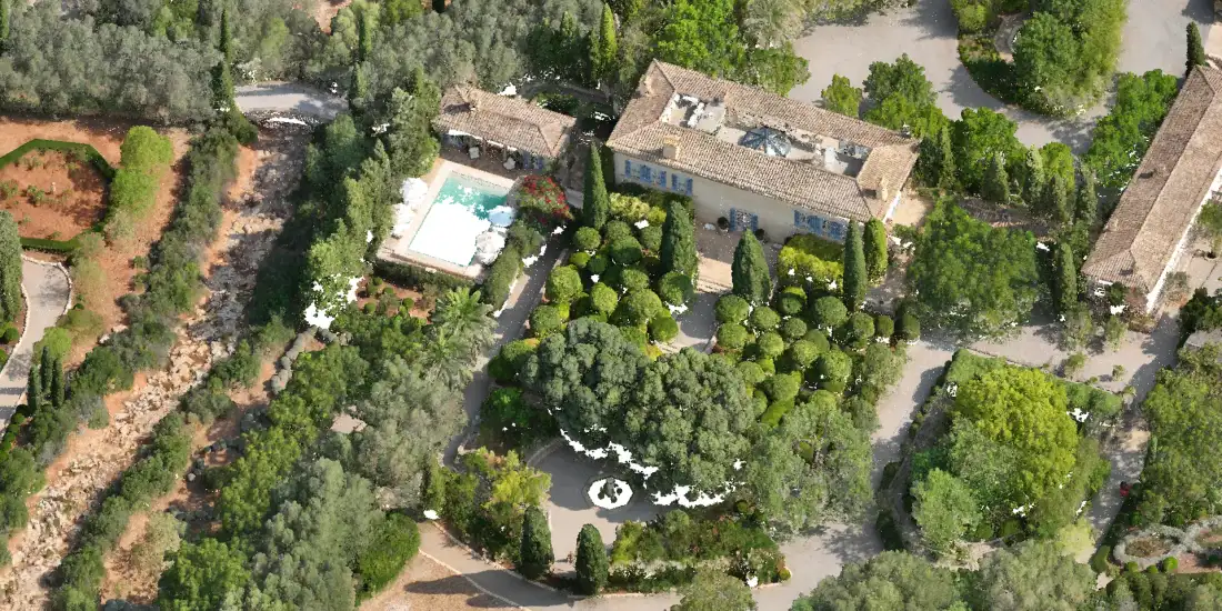 05Photogrammetry, orthomosaics and 3D modelsMapping and monitoring of terrainOrthomosaicDEM3D model
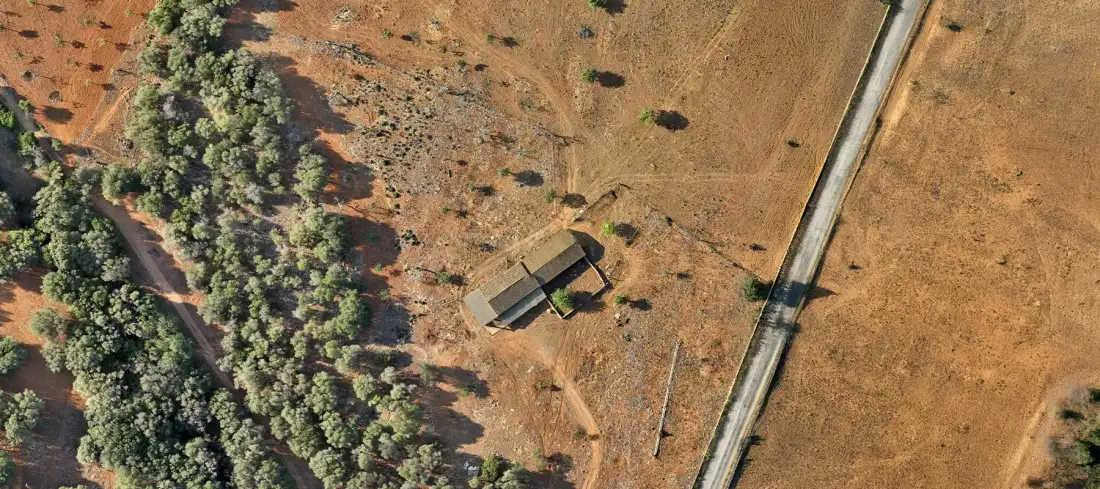 06Aerial photo and videoReal estate promotion and site monitoringAerial photo and video
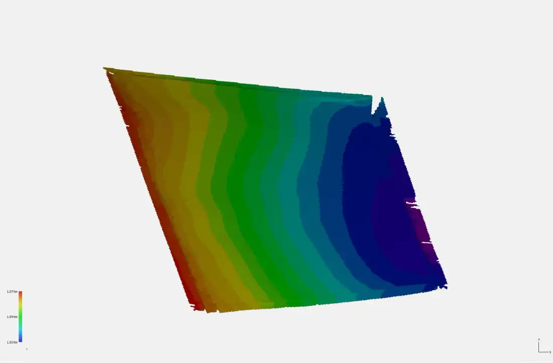 07Contour lines and spot heightsRoads, drainage and earthworks designContour lines and spot heights
Our process
How we work
Four steps, from the first conversation to the files on your computer.
You tell us about the project
Location, what the data will be used for and the software you work with.
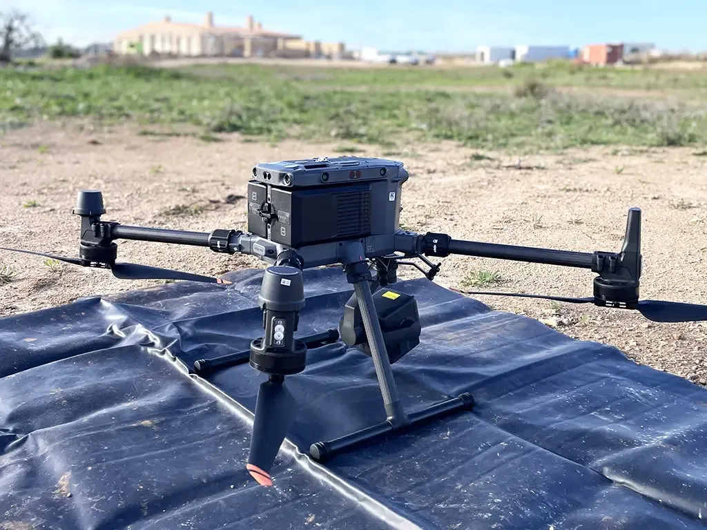
We plan the capture
We choose the method, flight height and ground control, and check the airspace.
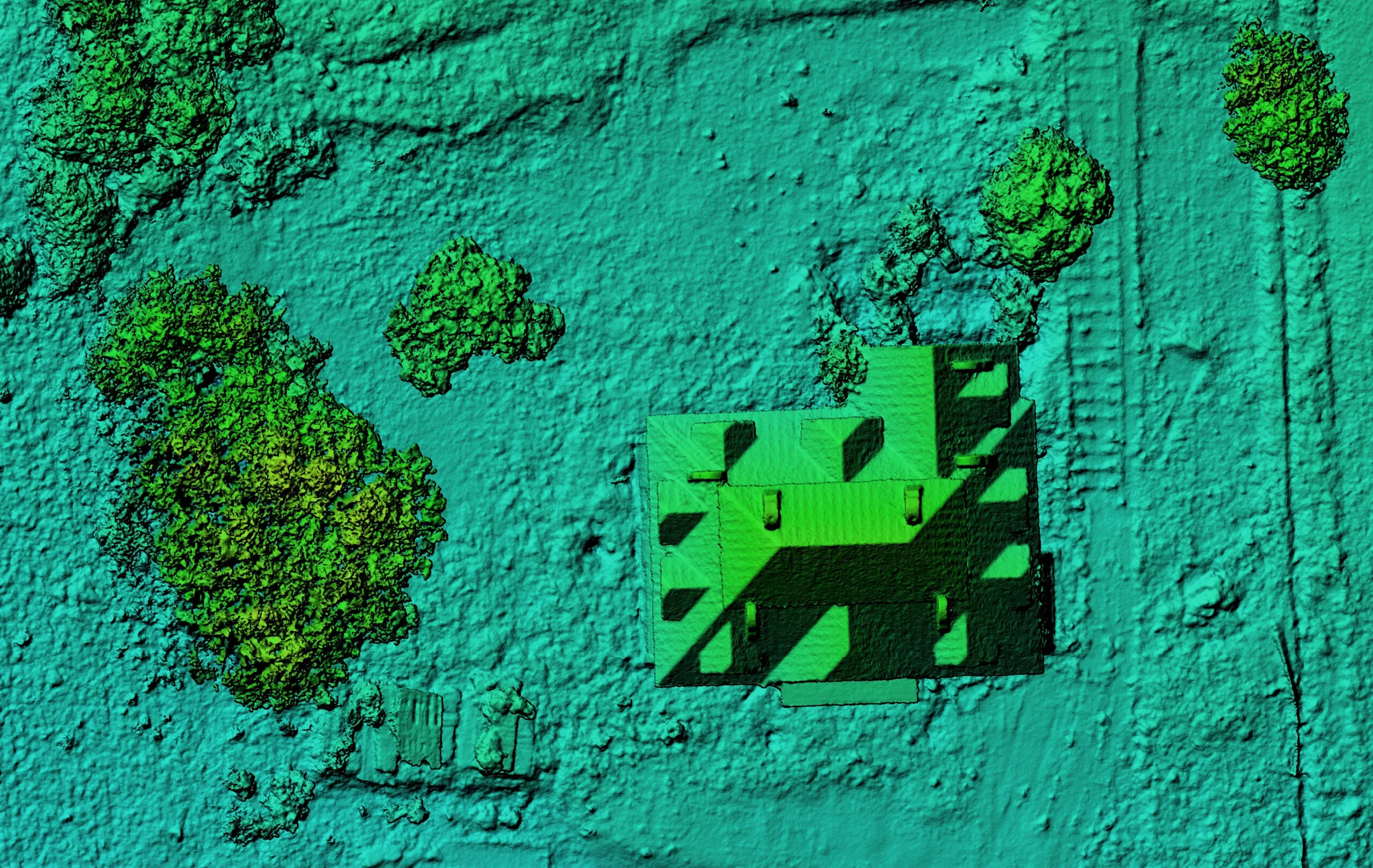
We process and analyse
We georeference, classify and generate the agreed products.
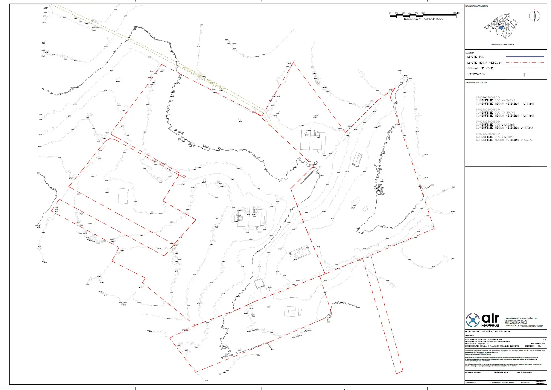
We review and deliver
Quality control and delivery of the files with a report on how they were obtained.
Tell us about your project
Tell us where the site is and what you need to obtain. We will reply with a concrete proposal.