
Service
Point clouds and digital terrain models
We capture the terrain with LiDAR or photogrammetry and deliver the point cloud and digital models ready to use in your design or analysis software.
What it involves
What it is and when it makes sense
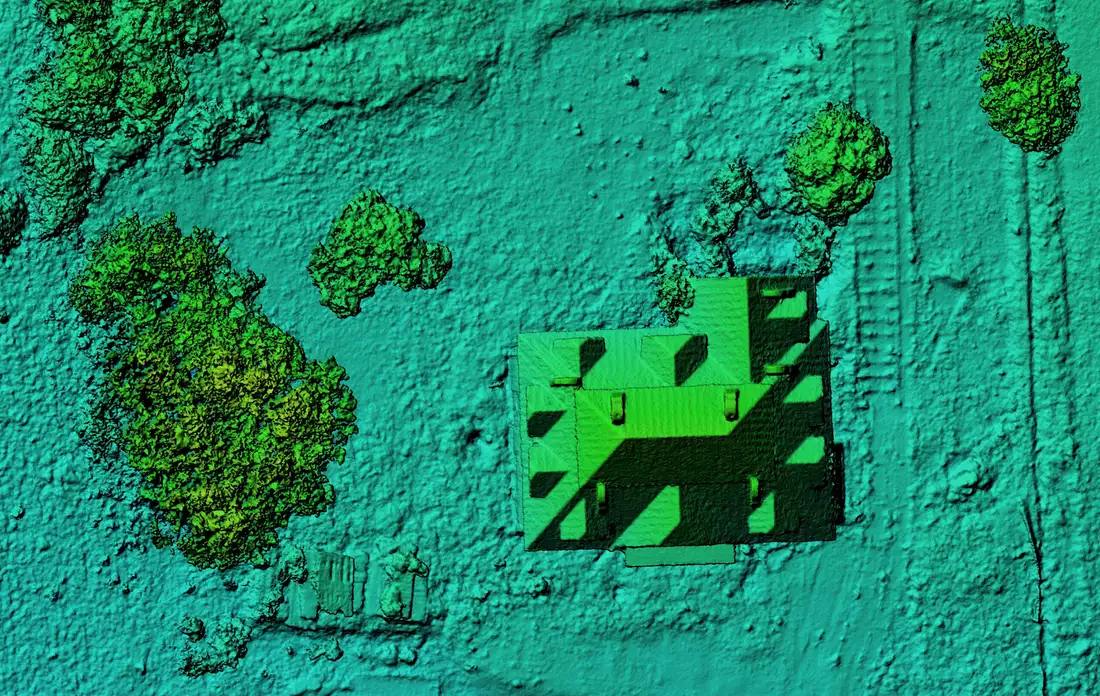
A point cloud is a set of millions of points with X, Y, Z coordinates that describes the real shape of a surface or structure. It is the source data: terrain models, contour lines, profiles and volumes are all derived from it.
A DTM (digital terrain model) represents the bare ground, without vegetation or buildings. A DSM (digital surface model) includes everything above ground: trees, buildings, machinery. DEM (digital elevation model) is used as a general term for both; we agree with the client which one is delivered in each commission.
It is used for
- Preliminary study before designing a building or development
- Slope, drainage and earthwork analysis
- Base for volume calculation
- Documenting the current state of an estate or quarry
What you receive
Deliverables
- 01 Georeferenced point cloud
- Classified according to the commission (ground, vegetation, buildings).
- 02 DTM and DSM
- Rasters with a grid agreed with the client.
- 03 Contour lines and profiles
- Derived from the model, at the interval the project requires.
- 04 Capture report
- Method, reference system and control applied.
Examples
What the result looks like
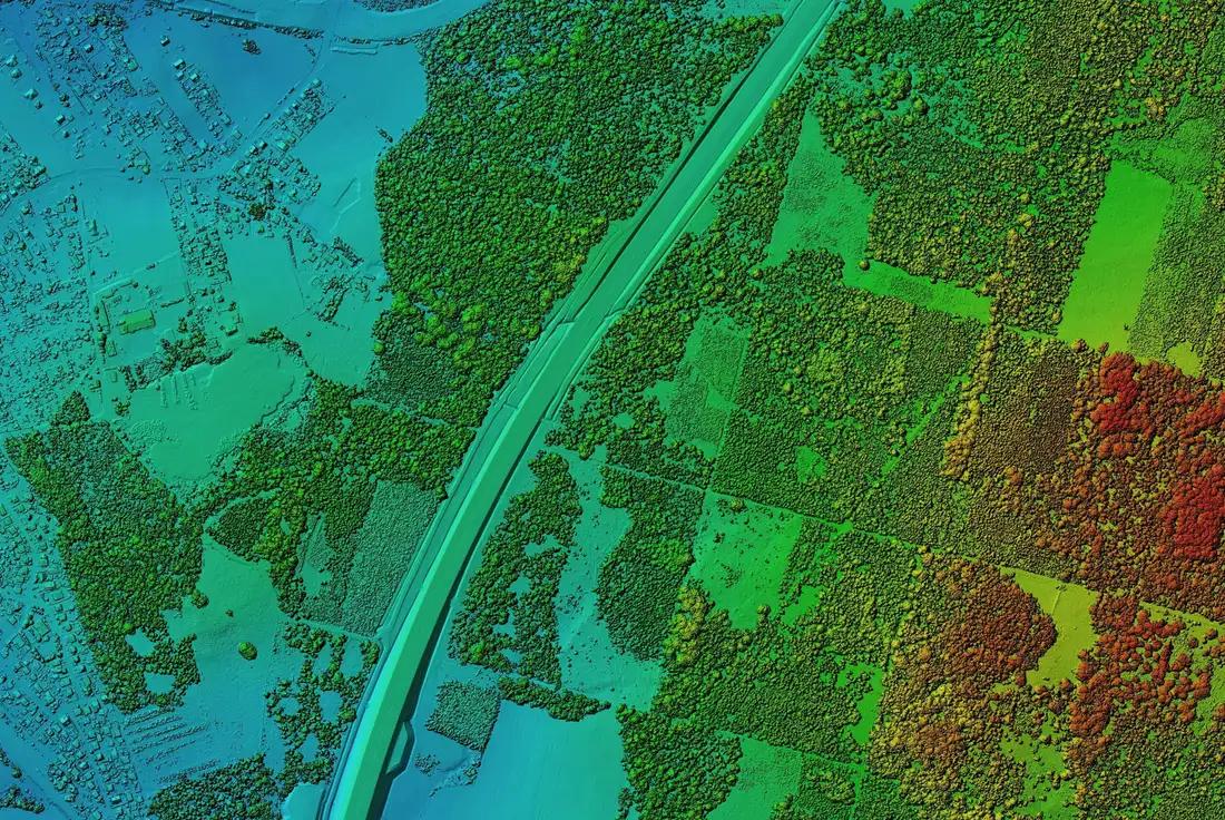
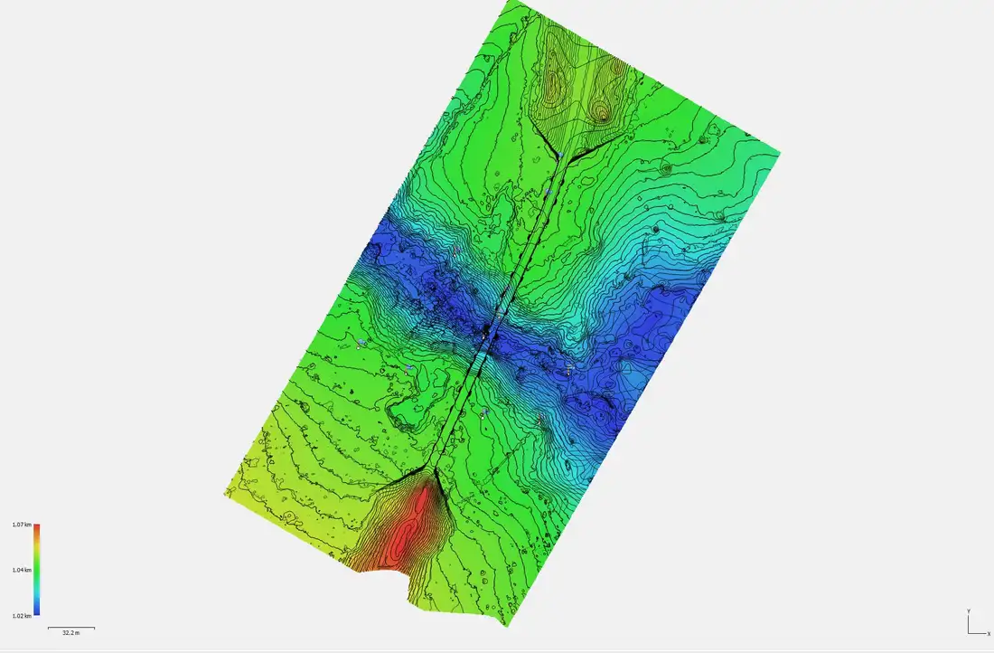
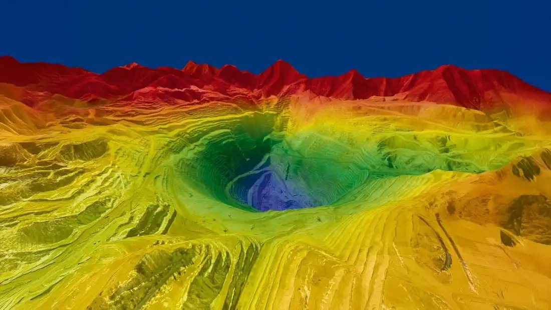
Examples of Air Mapping work. Locations and clients are not published.
Process
How we work
- Paso 1
Briefing
We define the area, the intended use of the data and the delivery format.
- Paso 2
Capture
Flight with LiDAR or photogrammetry depending on vegetation, surface and goal.
- Paso 3
Processing
Georeferencing, classification and model generation.
- Paso 4
Review and delivery
Quality control and delivery of the files with their report.
To quote
What we need from you
- Location and boundaries of the area (a KML is enough)
- What the data will be used for
- The software and format you use
- The project coordinate system, if it already exists
Honestly
What affects the result
- Dense vegetation limits how many points reach the ground; LiDAR usually reaches more than photogrammetry, but it is not uniform.
- Final accuracy depends on the sensor, calibration, control points and georeferencing, not only on the drone.
- Strong wind, rain and airspace restrictions can move the flight date.
Questions
Frequently asked questions
What is the difference between DTM, DSM and DEM?
The DTM shows the terrain without objects; the DSM includes vegetation and buildings; DEM is a general term for elevation models. The quotation states which one is delivered.
Which formats are delivered?
Formats are agreed in the briefing according to the software you use.
Can I open it in my CAD or GIS software?
It is prepared to integrate with CAD and GIS; the exact format is agreed in the briefing.
Keep exploring
Related services
Tell us about your project
Tell us the location, the approximate area and what you need to obtain.