
Service
Quarry and stockpile volume calculation
We measure how much material there is, how much has been extracted and how much has changed between two dates, from a digital terrain model and without stepping on the face.
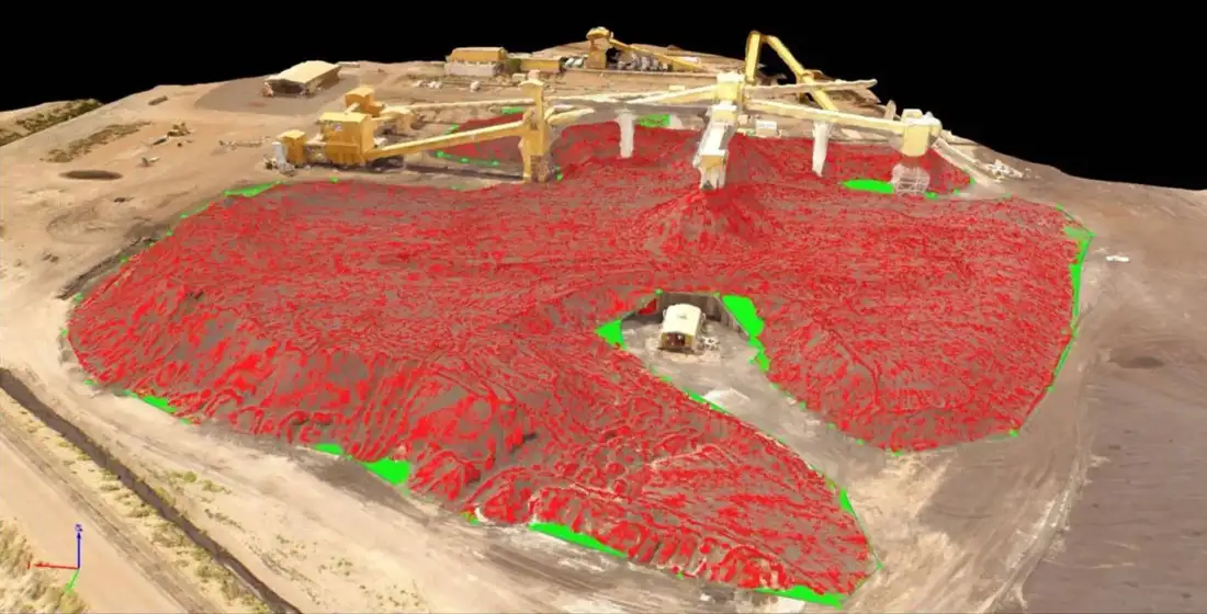
What it involves
What it is and when it makes sense
The quarry or stockpile is flown, a digital surface model is generated and compared with a reference surface: the base of the excavation, a previous survey or a design plan. The difference between both surfaces is the volume.
Repeating the flight at regular intervals makes it possible to follow extraction and compare it with what was declared or planned.
It is used for
- Extraction and stock control
- Stockpile volume measurement
- Comparison between two dates
- Support for certifications and settlements
What you receive
Deliverables
- 01 Volume report
- Total and per-zone volume, with the reference surface used.
- 02 Digital surface model
- So the comparison can be repeated in the future.
- 03 Contour and zone plan
- With the limits of each calculation.
Examples
What the result looks like
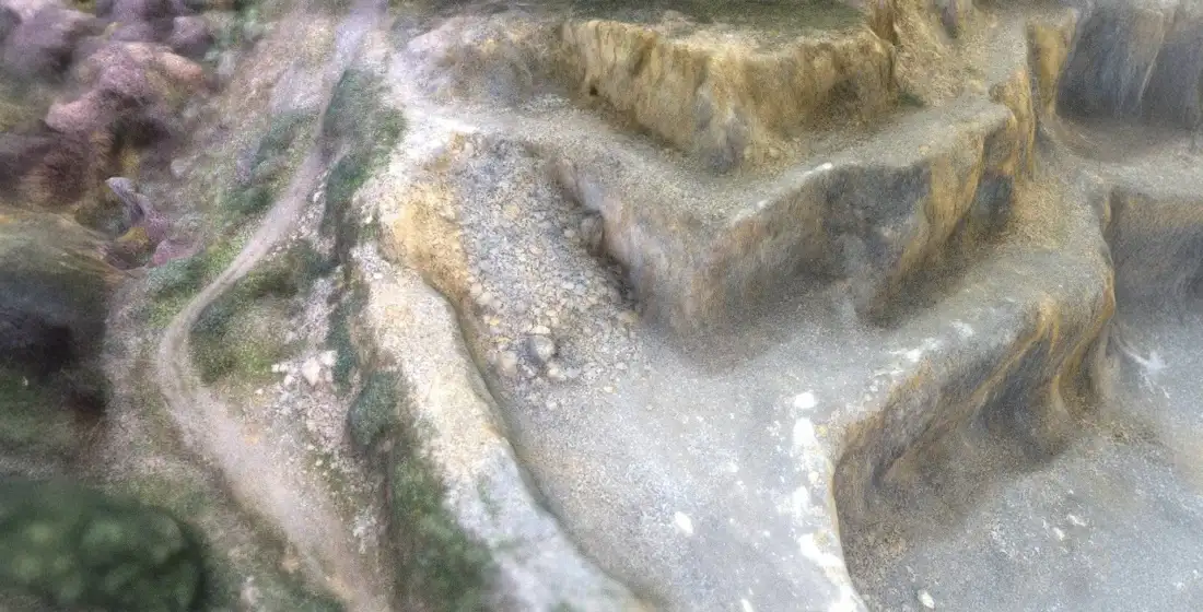
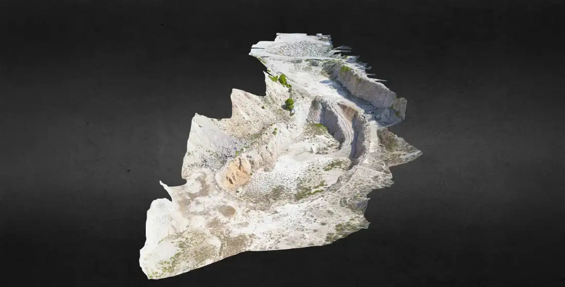
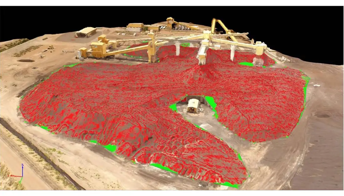
Examples of Air Mapping work. Locations and clients are not published.
Process
How we work
- Paso 1
Define the reference
We agree the base surface and the zones to measure.
- Paso 2
Flight
Capture of the whole area with coordinate control.
- Paso 3
Model and calculation
We generate the model and calculate by surface difference.
- Paso 4
Report
We deliver volumes and files to repeat the calculation.
To quote
What we need from you
- Location and type of quarry or stockpile
- Available reference surface (previous survey, plan)
- Zones to be measured separately
- Desired frequency, if monitoring is needed
Honestly
What affects the result
- The result depends on the chosen reference; without a known base, one is agreed before the flight.
- Standing water, loose moving material and deep shadows affect capture.
- The error margin is calculated case by case and stated in the report.
Questions
Frequently asked questions
How are quarry volumes calculated?
Two digital surfaces are compared, the current one and a reference one, and the volume is the difference between them. These 3D models are generated from LiDAR or photogrammetric data.
With what margin of error?
It depends on the method, the terrain conditions and the reference surface. It is stated in each report.
Keep exploring
Related services
Tell us about your project
Tell us the location, the approximate area and what you need to obtain.